|

|
|
|
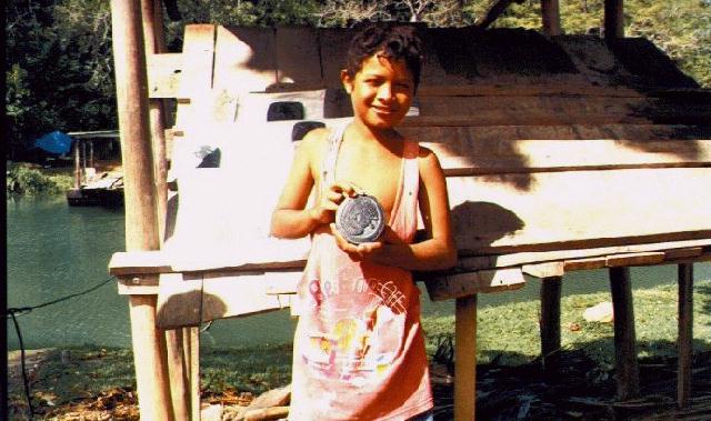
| On our way to Xunantunich, we bought slate carvings from some local
boys. |
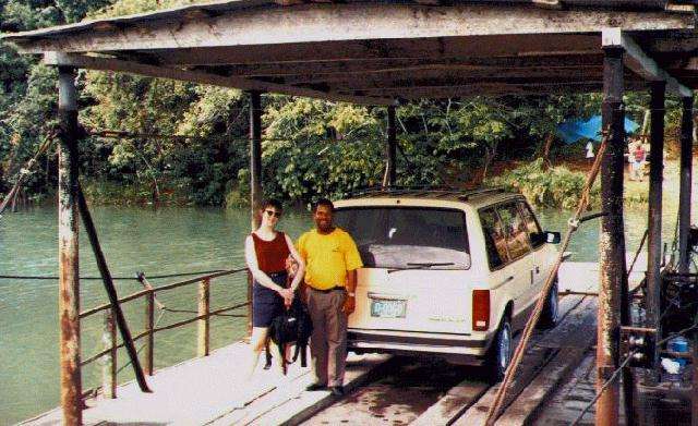
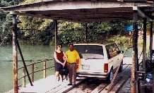
This is the one car ferry across the river to Xunantunich. My
wife Sandy is posing with Edgar August, or very knowledgeable tour
guide. |
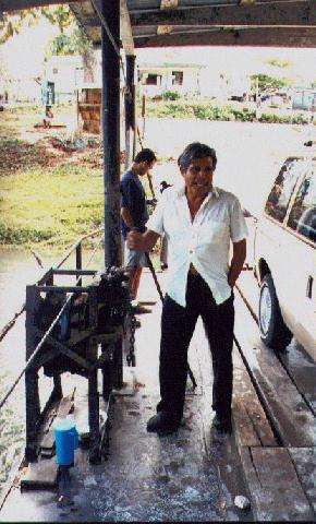
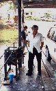
This is the ferryman. The ferry is connected to a cable that
crosses the river, and the ferry is hand cranked across the river. |
 |
 |
 |
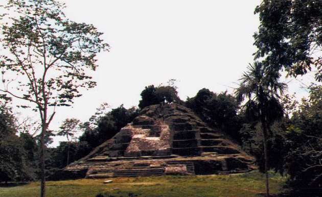
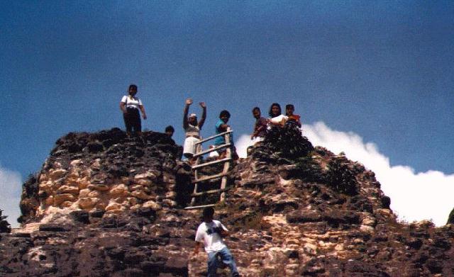
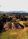
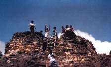
| This is the view from the top of one of the pyramids at
Xunantunich. This is in the Cayo district of Belize, and we
could see the Guatemalan border from the top. We could also
see other ruins in the distance. |
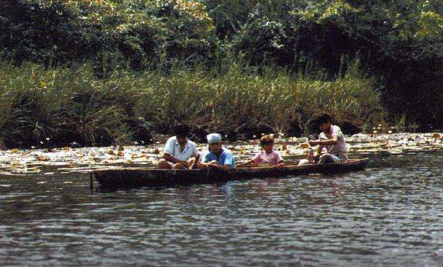
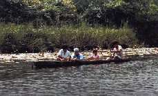
Our trip to Lamani was by boat, through the Orange walk district. Besides
lots of wild life, we passed these kids fishing from a dugout canoe, and
passed Mennonite farms. On the way there we heard a mixture of English,
Spanish, German, and Mayan spoken. |
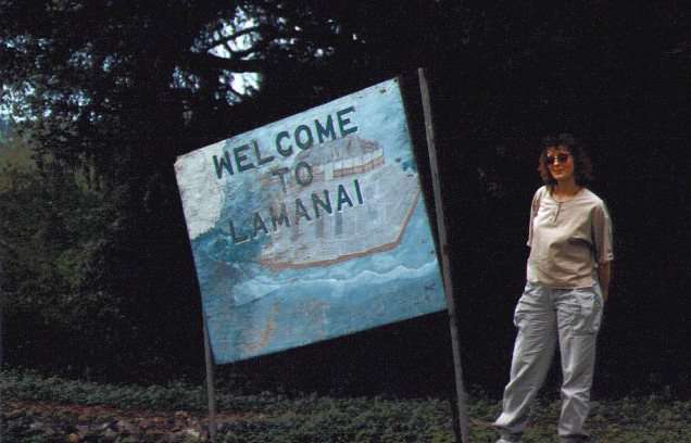
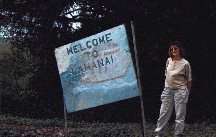
Sandy at the entrance to Lamani. Lamani means "Submerged
Crocodile" in Mayan. The city was named this due to large
masks found depicting a ruler wearing a crocodile headdress. |
|
|
|
|
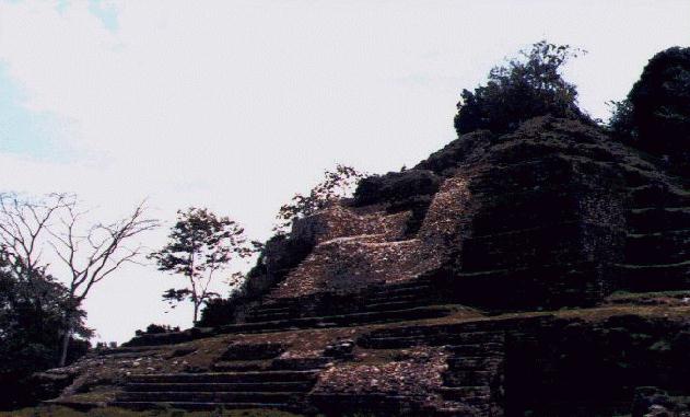
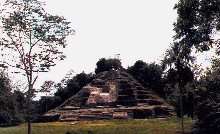
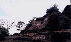
| The biggest pyramid at Lamani. This was the view I was
waiting for. You walk out of the jungle, and into a clearing,
and this is what you see. This temple is 33 meters high. |
Local kids visiting Lamani. It looked like a school
field trip. |
Another view of the main pyramid at Lamani. |
|
|
|
|
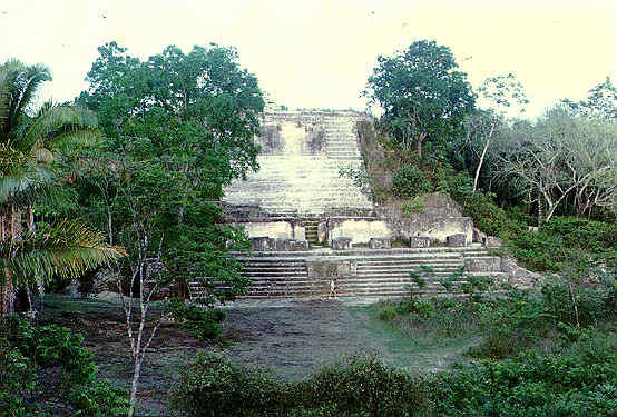
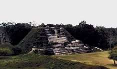
| The main pyramid at Altun Ha. Altun Ha has a large man
made reservoir. The name means "Rockstone Pond" in
Mayan, and it was named for this reservoir. This pyramid is
on the label of locally made Belikin Beer. |
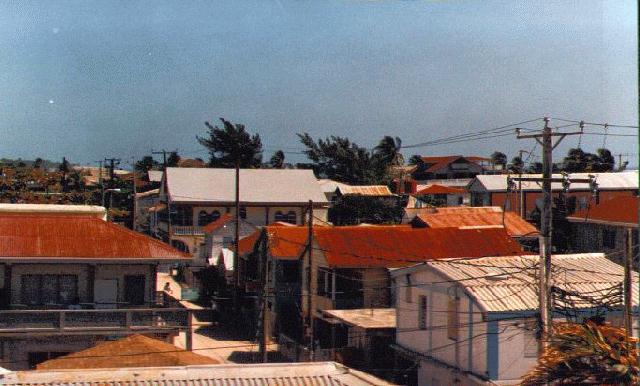
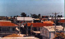
A view of downtown San Pedro on Ambegris Key. Building sizes
are limited to 2 stories due to the hurricane threat. |
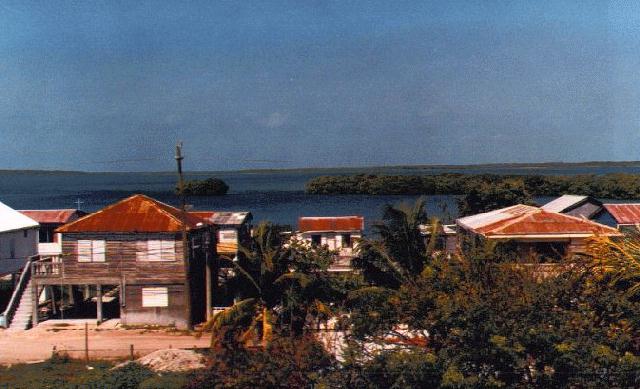
San Pedro is a small fishing village with a growing number of
hotels. It is a barrier island with the mainland several
miles away across a bay. The island is not more than a couple
hundred yards across in places. |
|
|
|
|
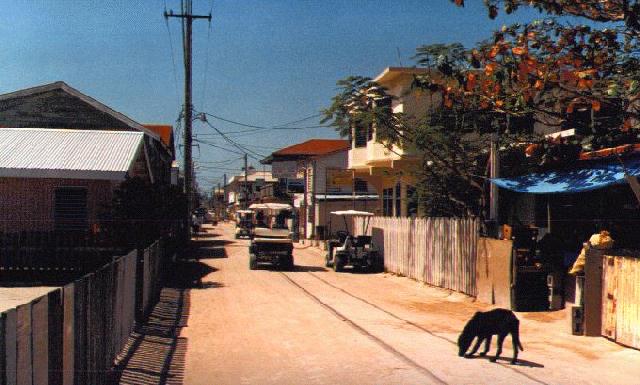
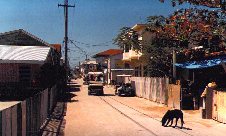
| The streets of San Pedro are still packed sand. Cars are
discouraged, and people mostly get around by walking, bikes, and golf
carts. |
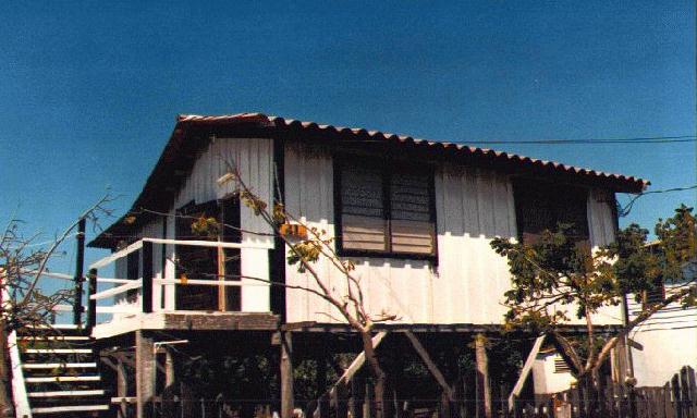
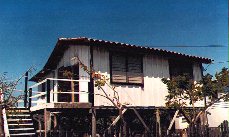
A stilt house in San Pedro. |
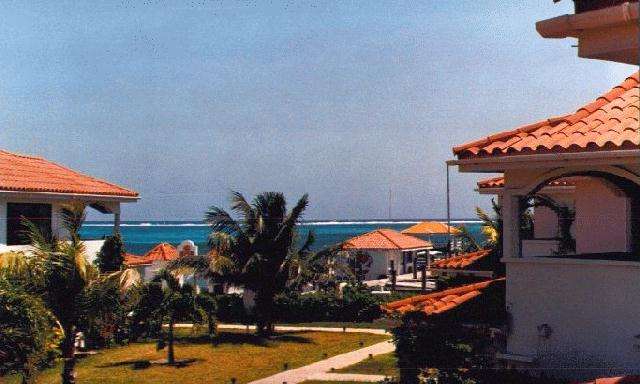
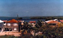
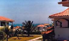
The Belize Yacht Club, the resort we stayed at in San Pedro. Dive
boats would pick you up at the dock at your hotel for dives on the
barrier reef within sight of shore. |
 |
 |
 |
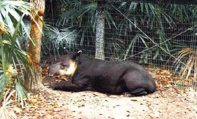
| April the Tapair at the Belize Zoo. |
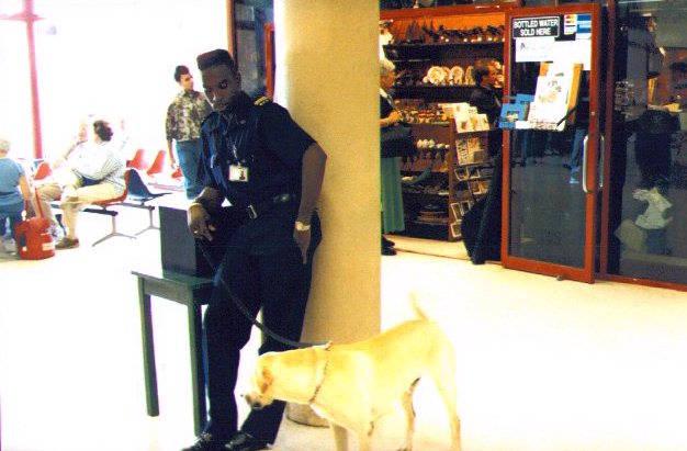
Policeman and dog at the Belize City airport. This was about as
intimidating as the Belize authorities got. |
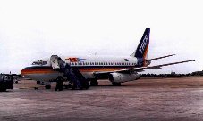
Taca airlines, the logo is a cool speeding parrot. |