 Road
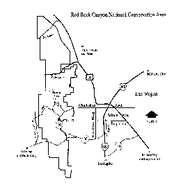
Map of Red Rocks area and Vegas. It takes about a half hour to drive from
the strip to Red Rocks from Charleston and Las Vegas Blvd.
Maps of the Red Rocks Area |
|---|
 Road
Map of Red Rocks area and Vegas. It takes about a half hour to drive from
the strip to Red Rocks from Charleston and Las Vegas Blvd.
 A
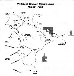
trail map for the Red Rocks loop road area.
Trail list:
| Back | Maps courtesy of BLM | Last Updated: October 29, 2000 |